Directions to the TH are from the book '100 Peaks in Mt Rainier National Park' by the Seattle Mountaineers:
"Drive to Enumclaw, WA and head east on SR 410 toward Mount
Rainier. Turn right on FS 73 and drive 10 miles until you
reach Eleanor Creek. At this point the road is almost directly
on the northern border of the park. There is a sign on the left
side of the road marked “Eleanor Creek, elev. 4520.” Park just past the sign".
Our goal for this outing was to hike the E-W ridge west to the summit, do the SOTA thing, hike the N-S ridge south to the Grand Park Trail, enjoy the views as we hiked back to Lake Eleanor.
It's 100 yards to the National Park boundary and one mile to Lake Eleanor on a boot track originally made by fishermen. Hike another 4/10 mile on the National Park trail to Grand Park to the base of the E-W ridge ('Scarface X' on map below) up towards the summit of Scarface.
 |
| Very scenic Lake Eleanor. Scarface is top center in this photo. |
 |
| Here's the GPS Tracks of the Hike |
 |
| Here's a looky up the E-W ridge. |
 |
| Taking a rest to change GPS batteries- still on the top of the ridge. The blow downs are plentiful for the next 1/2 mile. |
 |
| Here's a shot at the summit destination about 4/10 miles away- as seen from the top of the ridge. It's easy to see why John Muir or early Park visitors named this peak "Scarface". |
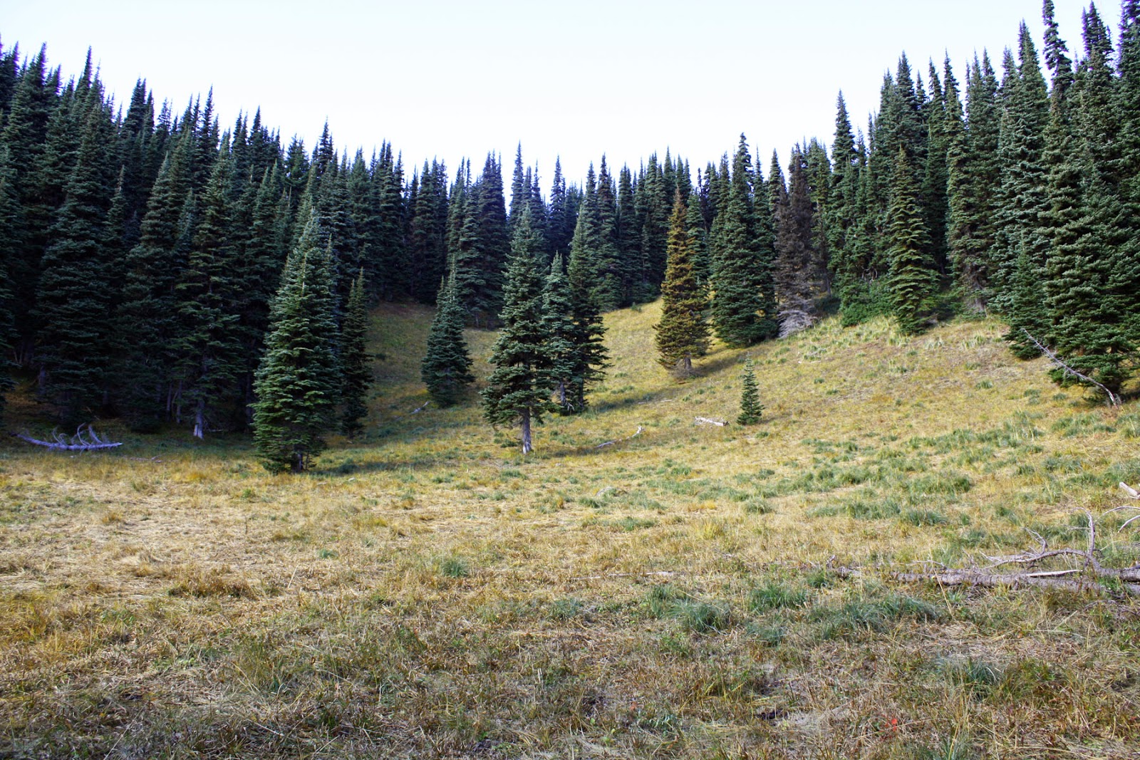 |
| We are out of the woods... so to speak... as we enter this clearing where the E-W ridge meets the N-S ridge. It's an easy (as compared to blown down log hopping and walking at a 45 deg angle) 2/10 mile and 300 vertical feet to go. |
 |
| A rarely seen frontal view of KR7W at the key. BTW- the old Russian Cold War key that broke down on the last activation was repaired and is back in service here. The radio is a KX3 at 6 watts. The antenna is a Dan's 44 ft Doublet with 4:1 Balun. |
 |
| The views on this hike were not plentiful... but here's a shot of Lake Eleanor from the very edge of the summit- near the scarred face. |
 |
| Here's a shot of Grand Park with Mt Fremont towering above. The Fire Lookout cabin is seen if you squint just right. |
Credits: Hiking partner Ms Pat WT7N for the photos and encouragement to keep going to the summit after the going got tough and frustrating for me. Thanks to chasers for the QSOs and waiting for me.
End of Blog. 72, KR7W
Glad you got home without too many scrapes and scratches. And an activation to top it off. Well played. Sorry I was out of town and couldn't manage any comms.
ReplyDeleteI could hear you weak but could not get through the pile up. Pick a easier one next time
ReplyDelete